


HIGH RESOLUTION AERIAL IMAGERY
Superior Quality High Resolution Aerial Imagery Solutions
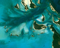
LRI is a leading supplier of high resolution aerial orthoimagery in Southern Africa. Not all imagery is created equally and we are proud to offer aerial imagery of unmatched accuracy, quality, and aesthetics. Our commitment to uncompromising sensor quality means we capture colour images with true colour depth and sharpness unparalleled in the aerial survey industry. Our high resolution aerial survey sensor is able to capture colour imagery at resolutions as small as 2cm (each pixel equates to a 2x2cm size on the ground). Typical uses of high resolution aerial imagery data include the following:
-
Terrain and 3D modelling
-
Contours and GIS base layer development
-
Land cover classification and change detection
-
Environmental assessment and monitoring
-
Municipal valuations and urban planning
-
Forestry management
 |  |  |  |
|---|---|---|---|
 |  |  |